If you have any present or past flood pictures you would like to submit to us to post on this page, please submit your pictures to jennifer@rmofmorris.ca
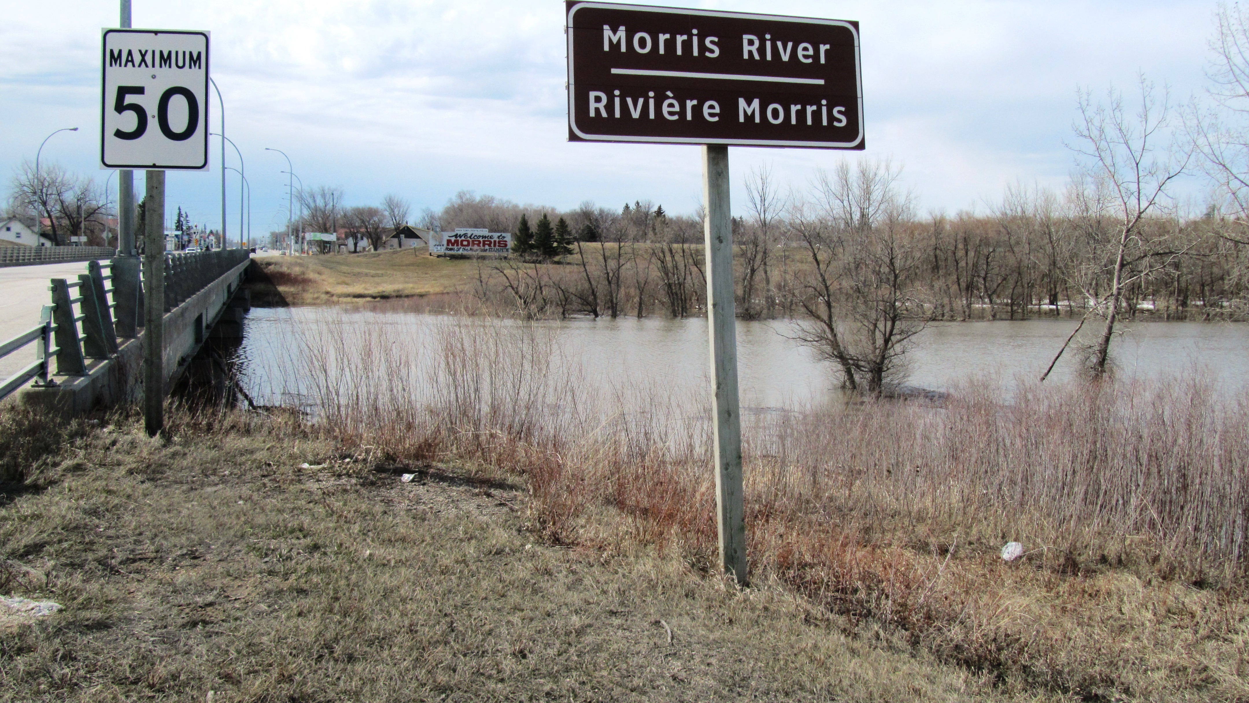
Pictures & script April 30, 2013 by Les McEwan This is the bridge west of Rosenort where we wisely decided to take our water quality samples, before and after lunch. Water level was still climbing so the samples got taken at the bridge on PR #422 south of town instead. I know you’re thinking I could just walk through that puddle, but I’ve been under that bridge and I’m not walking out on it with water moving at over 1.5m/sec. Good news is that levels are already dropping at Lowe Farm (unless we get more rain or melt more snow) so the upstream peak is probably done. There is still a lot of water out on the farmland however, especially around the Graham Creek and where the creek overtopped the banks at Lowe Farm. Trying to get 2 samples daily at the more active sites while runoff is rampant. Pictures taken on Tuesday April 30, 2013
by Mervin Dueck


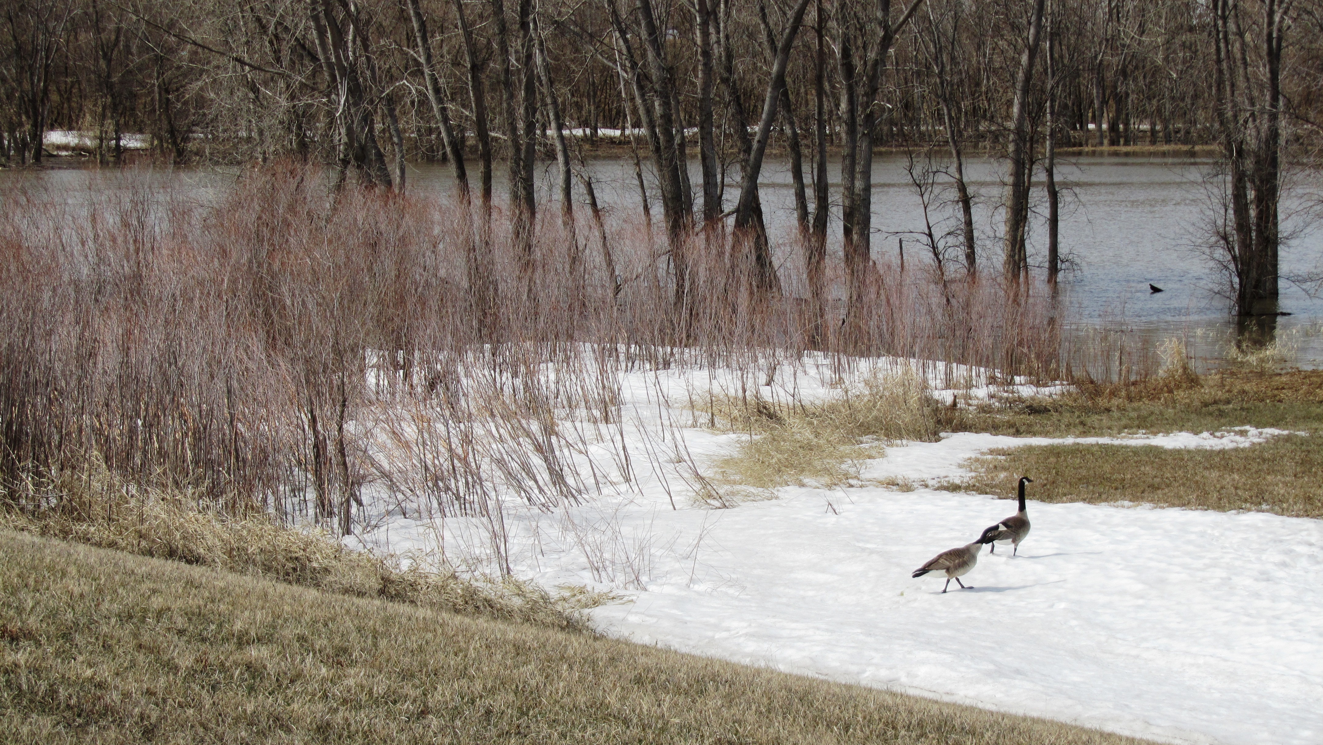
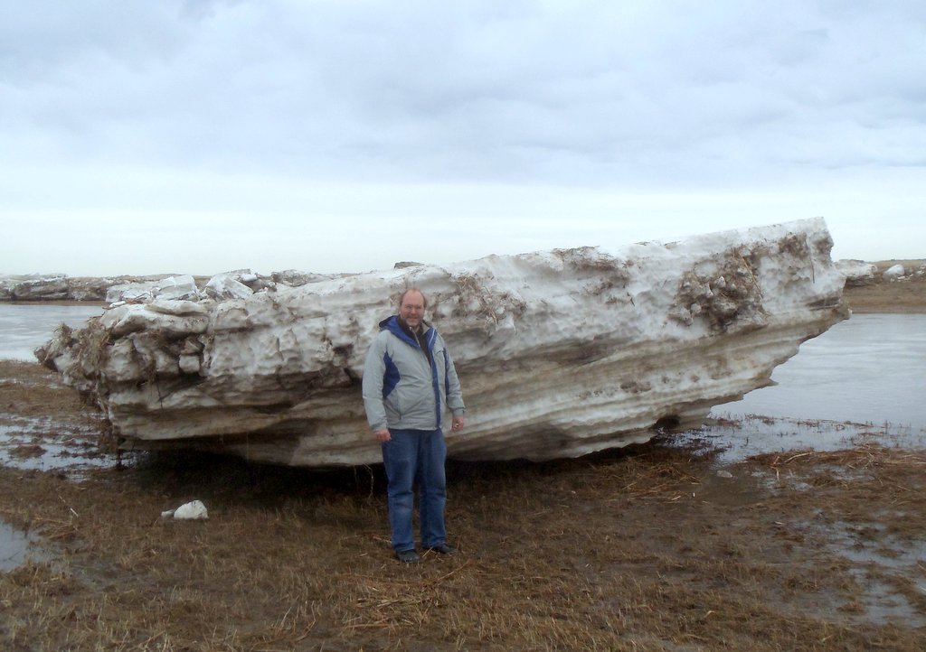
 Pictures taken on Monday April 29, 2013
by Les McEwan
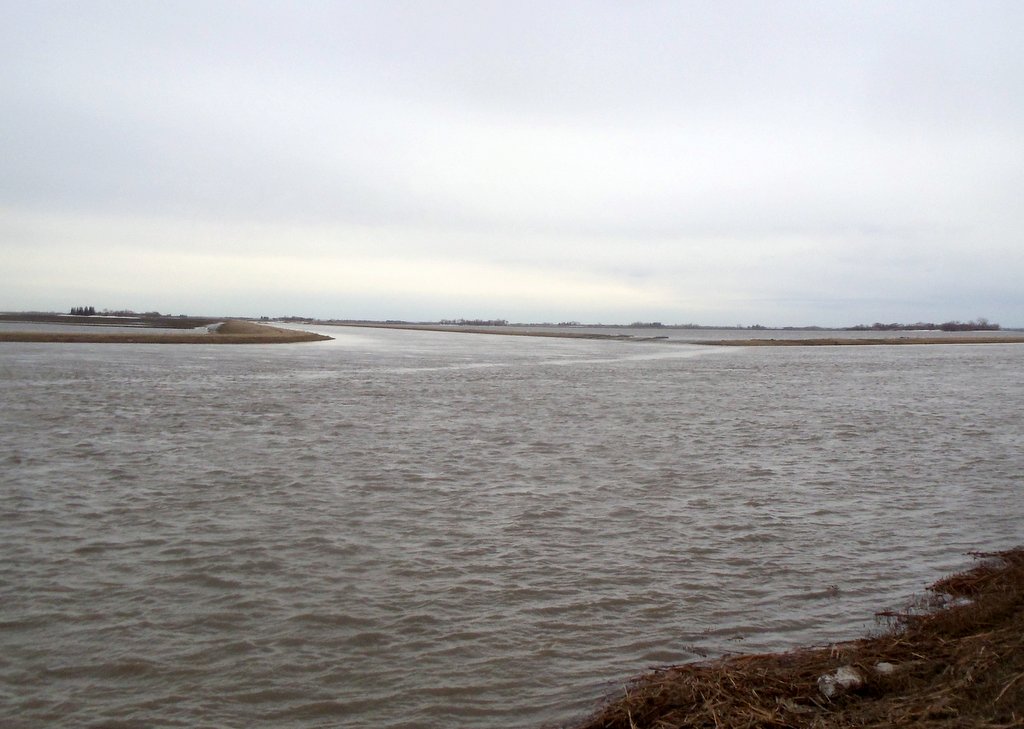
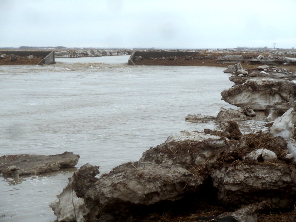
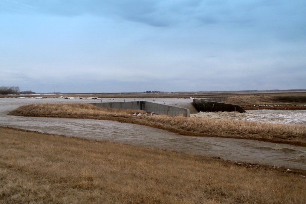
Pictures taken on Monday April 29, 2013
by Les McEwan
First shot is the convergence of the Graham and Tobacco Creeks. Note that the field is actually overflowing “into” the creek. Apparently water from the Graham was feeding into the area adjacent to the creek upstream. The backhoe was breaking ice on the main channel at 332 north of Lowe Farm. There’s over 5 meters of water under that bridge. I saw him actually lift the track off the ground breaking ice flows resting on water. Weirs 1 and 4 were both over capacity and using their emergency spillways. Final shot was the scene at weir 5 (the broken one) with ice flows piled up on the shores from last nite’s backup.
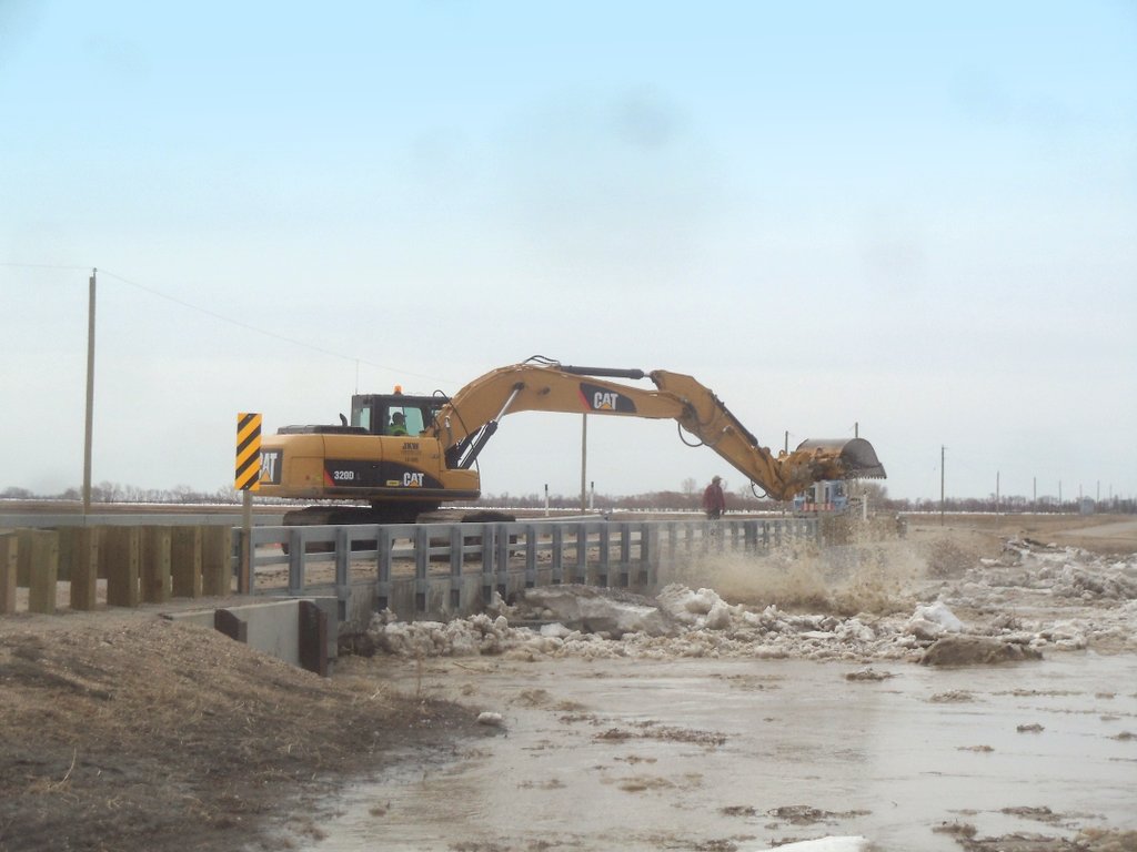
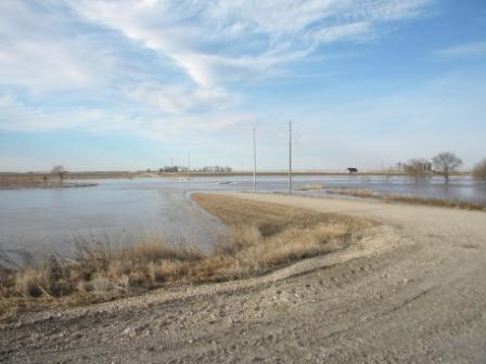 Pictures taken on Sunday April 28, 2013
by Julie Snarr
Pictures taken on Sunday April 28, 2013
by Julie Snarr